Public utility systems like telecommunication, electricity distribution, natural gas, cable television, fiber optics, traffic lights, street lights, water mains, wastewater pipes are run underground. In most of the cases, these systems run under the main public roads. So the local authority requires denoting and approving the underground location of these systems. This is done to ensure public security and safety so that existing underground lines don't get hit.
Even contractors or homeowners sometimes need to dig into the ground. They also run the risk of hitting utility pipes and wires. Those incidents can be costly and dangerous at the same time. So, underground utility mapping is necessary to locate underground positions.
What is Utility Locating Service?
Utility location is the process of identifying public utility systems that are underground. Underground utility locations are difficult to find considering continuous increase in the wide network of cables and lines. There is a growing congestion of lines, which makes it vital to pinpoint their location to ensure safety. There are various types of underground utility locating services depending on the different types of materials used in different types of underground lines.
Types of Services:
- Electromagnetic Utility Locator used for gas, telephone, electric, propane, water, cable, sewer, irrigation lines
- Acoustic Pipe Locator used for locating unmarked plastic pipes, sewer and water laterals
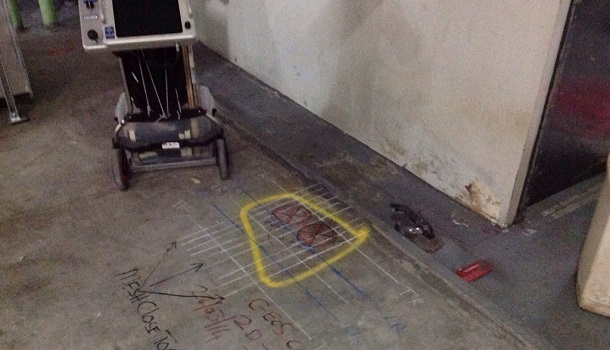
- Ground Penetrating Radar used for buried pipes, manholes, tanks, cables
- Hydro or Vacuum Excavation used in difficult soil conditions when pressurized water breaks up soil
Specific Areas Covered in This Service:
- Service detection
- Investigation and detection of leakage issues
- Managing the water loss issues with chemical and mechanical process
- Air excavation and cleaning of pits
- GPR super vision and underground imaging system
- Concrete imaging, slab scan and scanning with proper survey and inspections
- Main line inspections and CCTV inspections
- Drain inspections, plumbing inspections
- 3D imaging and GPS surface utility survey
- Smoke, nitrogen and hydro testing
- Sample and analysis of water supply
Why is Underground Utility Mapping Needed?
- It ensures safety and security of the workers.
- It saves time and money. GPR provides untold cost savings by locating utilities. It can help determine what main power feed is located below the concrete and ensure that there is zero downtime.
- Being able to determine the precise location of underground services lessens the risk of any interruption of utilities, injury, delay or major repairs. Limiting risk allows for better planning and proper budgeting.
- Every project struggles to maintain its projected schedule. Underground locating at the planning stage of any construction project is beneficial.
Conclusion:
GPR underground utility investigation process investigates the site with different sampling and surveying systems from different angles. Ground Penetrating Radar and underground 3D imaging enable exclusive imaging due to unprecedented access through these imaging techniques. This type of investigation helps in accessing the exact site or structure and therefore improves the quality of supervision, planning and work.